


Numinbah Valley
Tree removal in Numinbah Valley
Tree removal, lopping and stump grinding across Numinbah Valley, from paddock and creek-bank trees to forest edges on steep ground.
Tree work in Numinbah Valley
Farm-sized holdings, steep forest and a long haul out
The typical Numinbah Valley holding is the size of a farm. Leaving out parcels below 250 square metres, the boundaries mapped in the City Plan put a median lot of 322,160 square metres in the valley. A tree that needs work is often out in a paddock or along a creek, a long way in from the gate, so a tracked machine or a log trailer is planned in from the start.
The City of Gold Coast describes a trail through grey gum and tallowwood dominated open forest in Pocket Road Conservation Area, with hoop pine plantations and patches of regenerating subtropical rainforest. Grey gum and tallowwood are tall, dense hardwoods, and plantation hoop pines grow straight and heavy. Logs of that weight are cut to lengths a trailer can take, and their removal is planned for the long drive out.
Green waste needs a plan of its own here. The City of Gold Coast's waste and recycling centres map lists the Numinbah Valley Waste and Recycling Centre as no longer operational from 1 July 2026. Branches and logs from a valley job are chipped and spread on the block or carted away, and the quote says which.
Services in Numinbah Valley
Paddock trees, creek banks and the haul out
Tree removal
Paddock and creek-bank trees felled where there is open ground, and taken down in sections near houses and sheds.
Tree lopping
Dead and overhanging limbs cut back from roofs, sheds and the tracks between paddocks.
Stump grinding
Stumps ground below the surface so the paddock can be mown or slashed over them.
What it costs: tree removal cost, stump grinding cost, palm removal cost
Compared: removal, lopping or pruning, stump grinding or stump removal, council tree rules compared
How it works
Four steps, and the permit comes before the price
Nothing happens without a written quote you have agreed to.
- 1
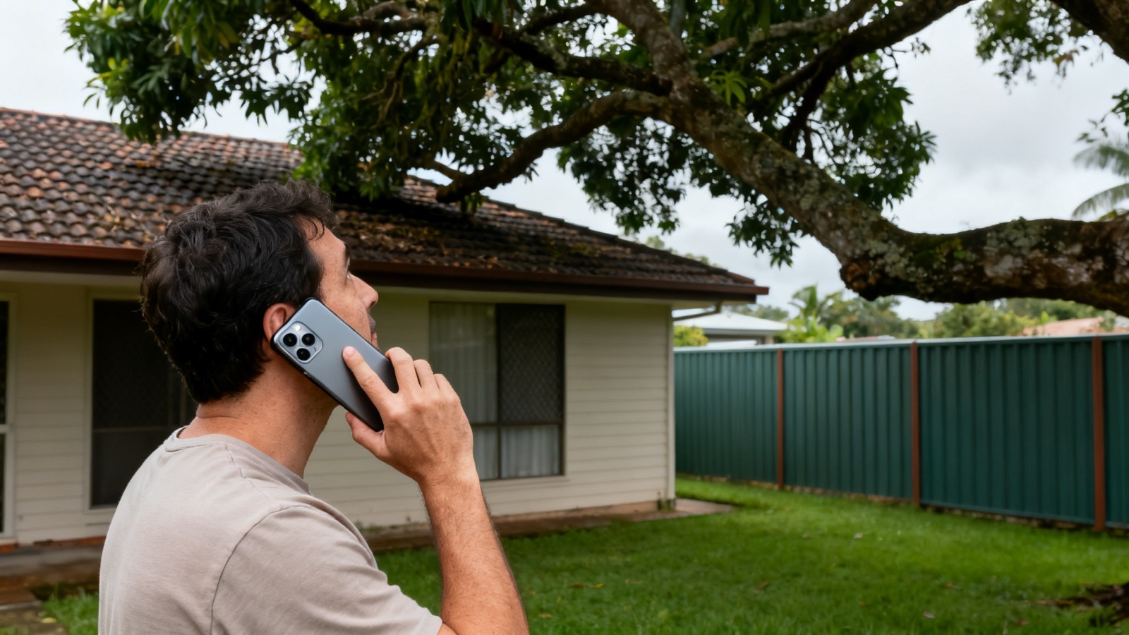
Call or send the form
Include the suburb, your details and what needs to be done.
- 2
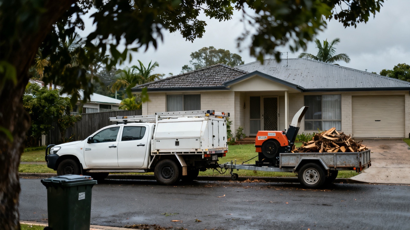
A contractor comes to see it
On site, not off a photo, because access and what sits underneath change the job.
- 3
The permit position is checked
Against the city's vegetation mapping and the koala controls, before a price is given.

- 4
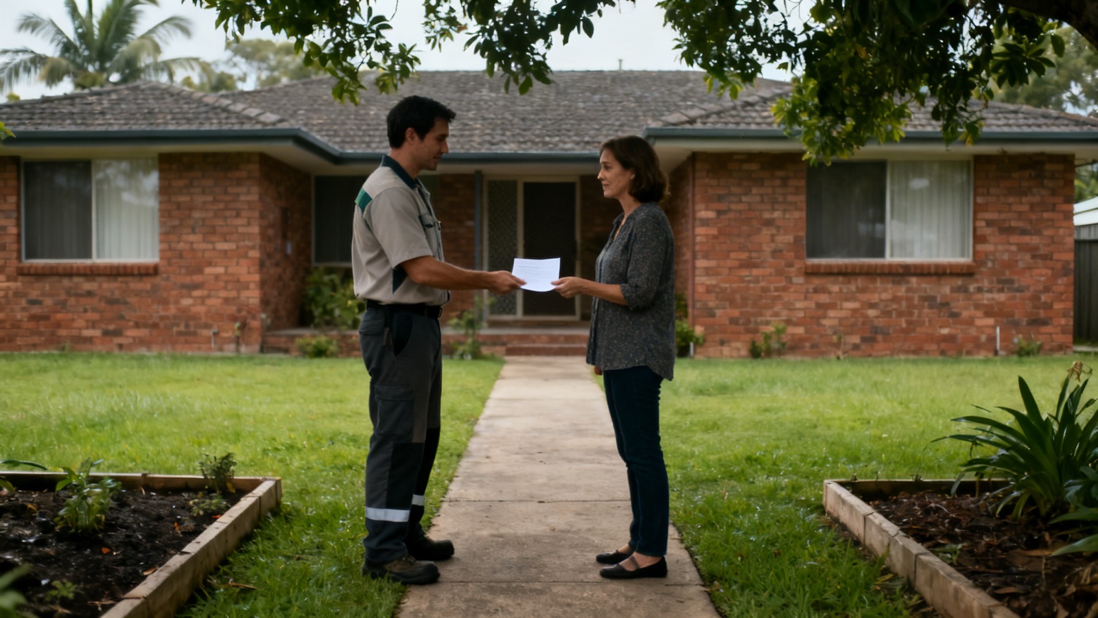
Quoted in writing
The quote sets out the scope, the timber, the stump and the date. Then a date is booked.



Numinbah Valley questions
Fire records, a koala list and slopes rated for landslide
Has fire burnt inside Numinbah Valley?
Yes, both wildfire and planned burning. The state's fire records for its parks map a Springbrook National Park wildfire of about 445 hectares in November 2002, and a planned burn of about 130 hectares in February 2026, both inside Numinbah Valley. Around houses and sheds, trees are kept clear of the roof, dead limbs and bark are taken away, and farm tracks stay open for fire crews.
Are koalas recorded around the conservation park?
They are. Springbrook Conservation Park lies in Numinbah Valley, and the Queensland Government's wildlife list for it, which takes in sightings within a kilometre of the park, has the koala, endangered under Queensland and national law, with 13 records, the latest in October 2023. On a block nearby the canopy is looked over before felling or heavy pruning, and a tree holding a koala is not touched until the animal has gone.
What happens on the valley's steepest slopes?
The landslide overlay in the City Plan maps parts of Pocket Road Conservation Area in Numinbah Valley as Very High landslide hazard, and other parts as High or Moderate. Beside ground like that, a tree comes down in short lengths rather than being felled across the hill, the machinery is parked on firm ground, and a stump in a slip-prone bank may be left to keep holding it.
