


Luscombe
Tree removal in Luscombe
Tree removal, pruning and stump grinding in Luscombe, from riverside lots to homes near the vine forest in the council's Halls Road reserves.
Tree work in Luscombe
Paddock-sized lots, lily pillies and vine forest
Taking in only lots of 250 square metres or more, the City Plan's property data gives Luscombe a median lot of 27,230 square metres. At that size the truck often stops well short of the tree, so the timber is carried or dragged out, or a tracked machine does the hauling, and the chipped green waste can stay on the block as mulch.
The City's Urban Forest records were last edited in 2021, and they hold 79 weeping lily pillies inside Luscombe, filed under two spellings, the most of any named tree there, ahead of brush box and Eumundi quandongs. Those are street and park trees: pruning one back from a gutter is arranged through the City, while a lily pilly on the private side of the boundary is the owner's call.
The City's vegetation mapping shows vine forest in the council's Halls Road reserves, alongside forest red gum and ironbark open forest and river red gum woodland, some with river she-oak. Vines tie the rainforest crowns together and the red gums and she-oaks keep to the creek lines, so a removal near a home on the reserve edge starts with cutting vines free, and machinery stays off soft, damp ground.
Services in Luscombe
Long hauls, flood-scoured banks and vine-laced crowns
Tree removal
Trees on big lots dropped in large pieces where there is room, with the timber hauled out to the truck.
Storm damage
Leaning or undermined trees made safe after storms and floods along the river.
Tree pruning
Vines cut out of crowns on blocks that border the council's bushland.
What it costs: tree removal cost, stump grinding cost, palm removal cost
Compared: removal, lopping or pruning, stump grinding or stump removal, council tree rules compared
How it works
Four steps, and the permit comes before the price
Nothing happens without a written quote you have agreed to.
- 1
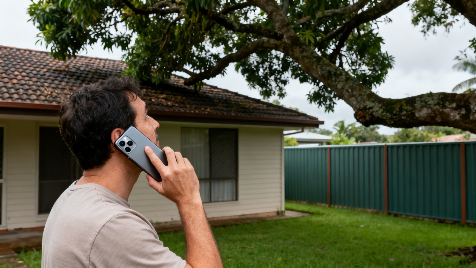
Call or send the form
Include the suburb, your details and what needs to be done.
- 2
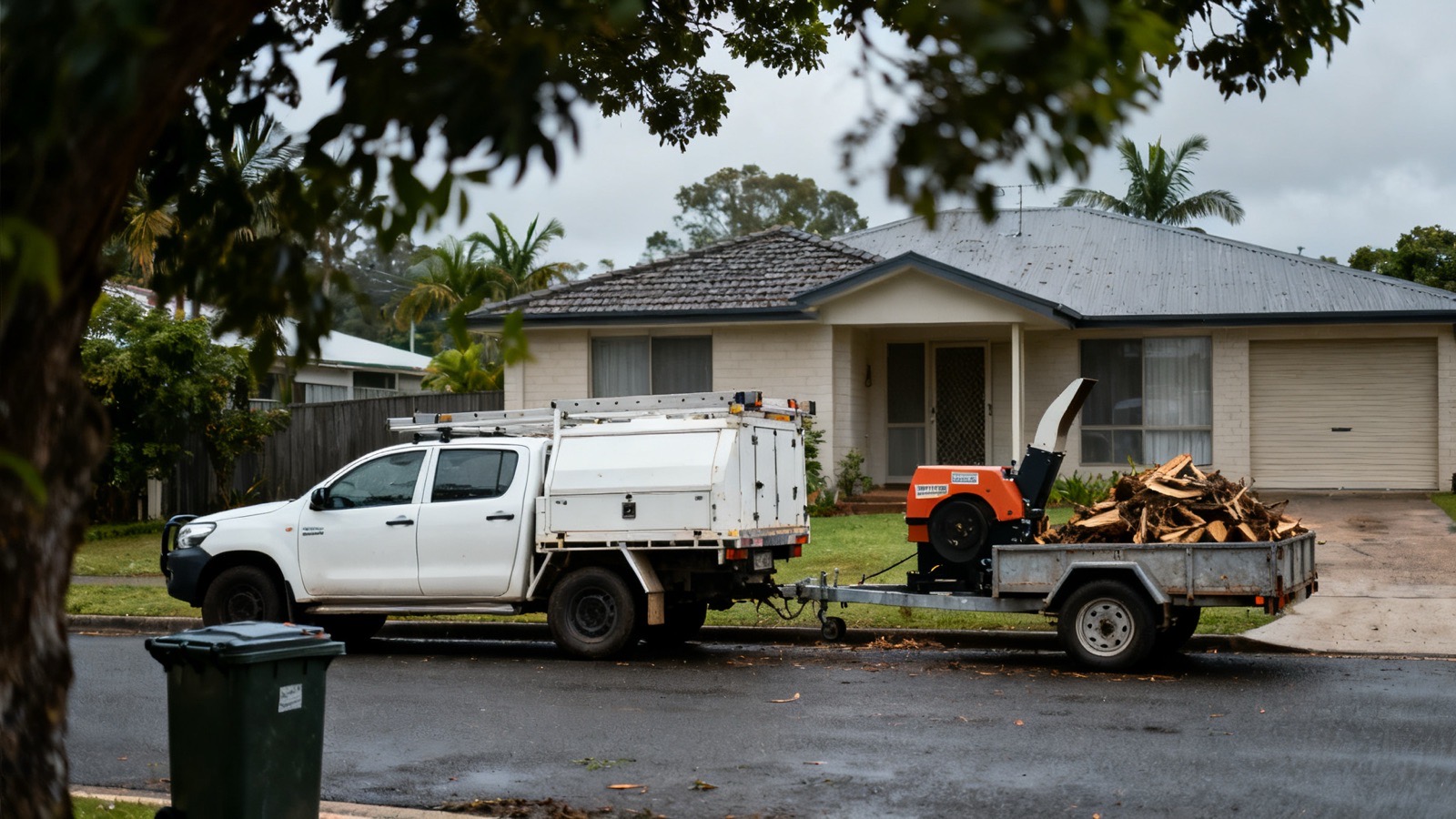
A contractor comes to see it
On site, not off a photo, because access and what sits underneath change the job.
- 3
The permit position is checked
Against the city's vegetation mapping and the koala controls, before a price is given.

- 4
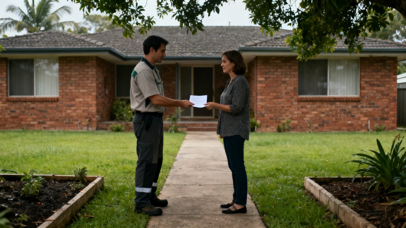
Quoted in writing
The quote sets out the scope, the timber, the stump and the date. Then a date is booked.



Luscombe questions
Albert River floods, and parkland mapped for fire
Do floods on the Albert River affect trees on Luscombe blocks?
They can. The City of Gold Coast's history of Luscombe pictures the footbridge over the Albert River at Luscombe in 1928, a temporary pedestrian bridge put up after floodwaters destroyed the traffic bridge. Water with that force scours banks and soaks the ground, so after a big flood a riverside tree is checked for exposed roots, a new lean or caught debris before anyone works on or under it.
Are the parklands near Luscombe homes mapped for bushfire?
Yes. Parts of Halls Road East Parklands in Luscombe are mapped as Very High Potential Bushfire Intensity on the City Plan's bushfire hazard area overlay, with other parts Medium or Potential Impact Buffer, and High areas touching it. For your own trees, the useful work before each fire season is removing dead timber, lifting the lowest limbs and pulling branches back from the roof, while the parkland trees stay the council's.
